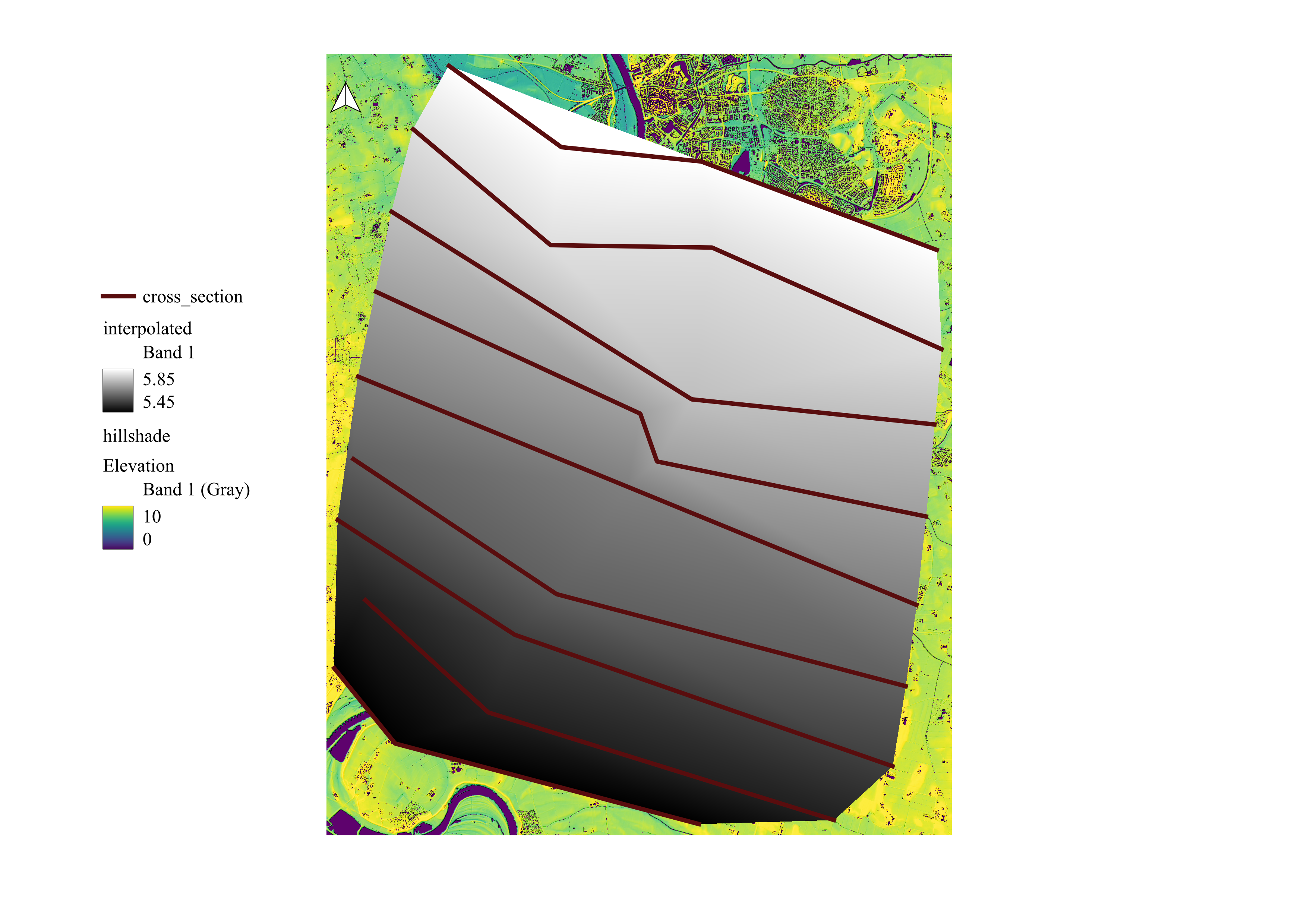
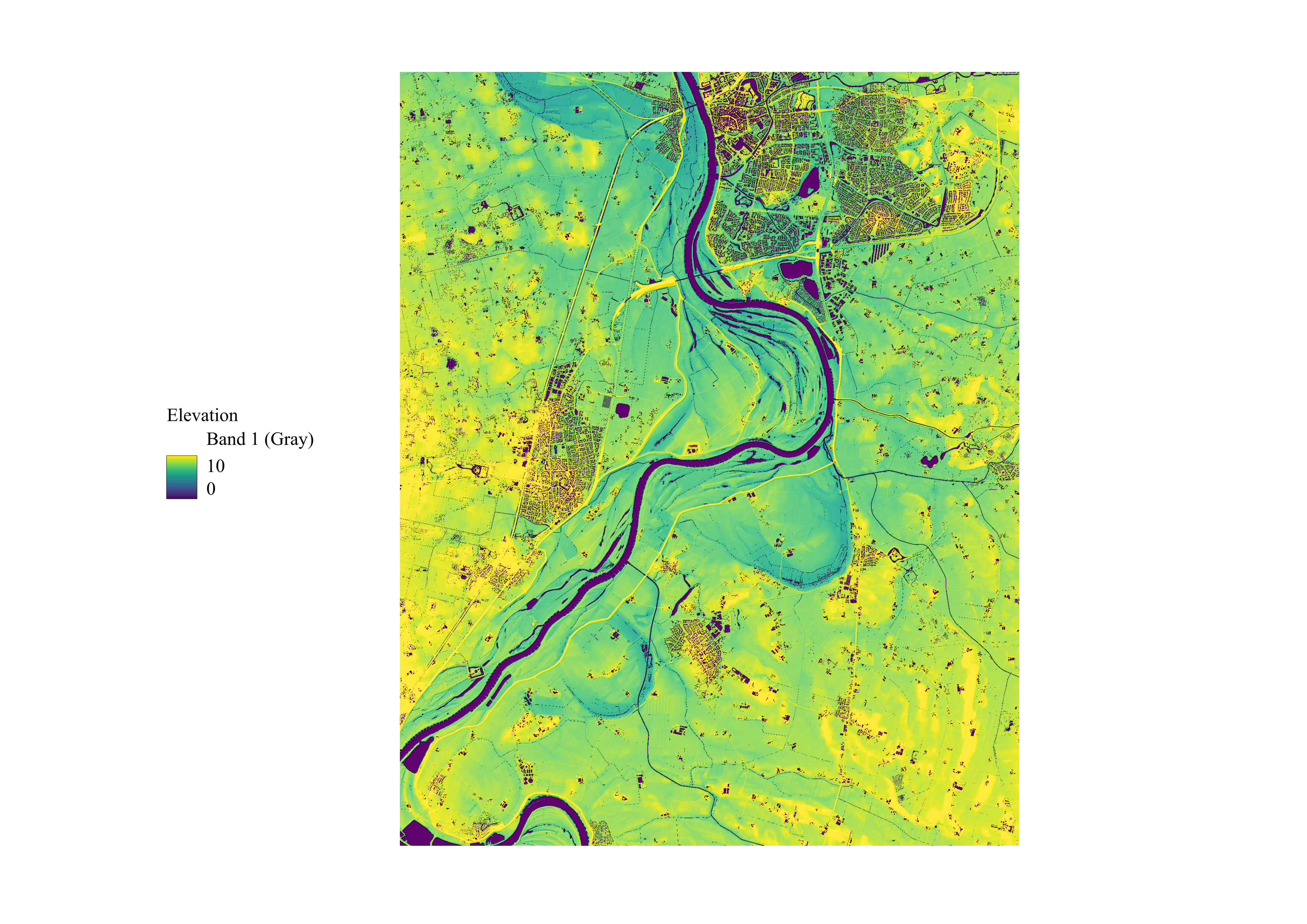
Relative Elavation Model
This is a REM made on QGIS that shows the elevation of an area with a river. As shown in the map the river has an elevation of 0. I also made cross section lines because the goal was to made a cross section, which failed. The model effectively conveys the topographical features of the area, showing valleys, ridges, and flat plains. The regions along the river are significantly lighter - more elevated, suggesting that the river is not that likely to be prone to flooding. However, flooding under extreme weather would be possible.
This is the model after interpolation.