LiDAR Map
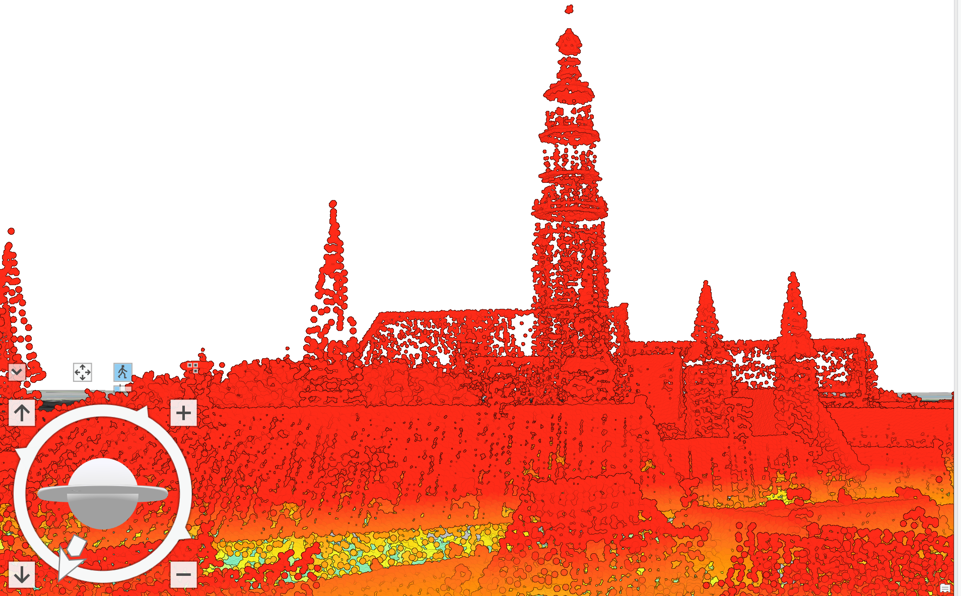
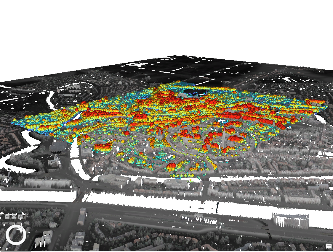
This is a 3D LiDAR map I made using ArcGIS showing a detailed 3D representation of an area in the Netherlands. The map was made using point cloud data.
This is a 3D LiDAR map I made using ArcGIS showing a detailed 3D representation of an area in the Netherlands. The map was made using point cloud data.