Land Cover Map
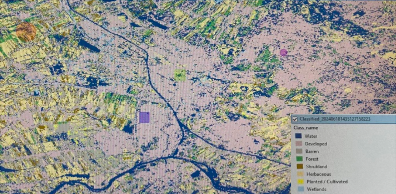
This is a supervised pixel based classification map showing the land cover of an area in Utrecht. I found this one to be the most accurate compared to unsupervised pixel based and object based classifications.
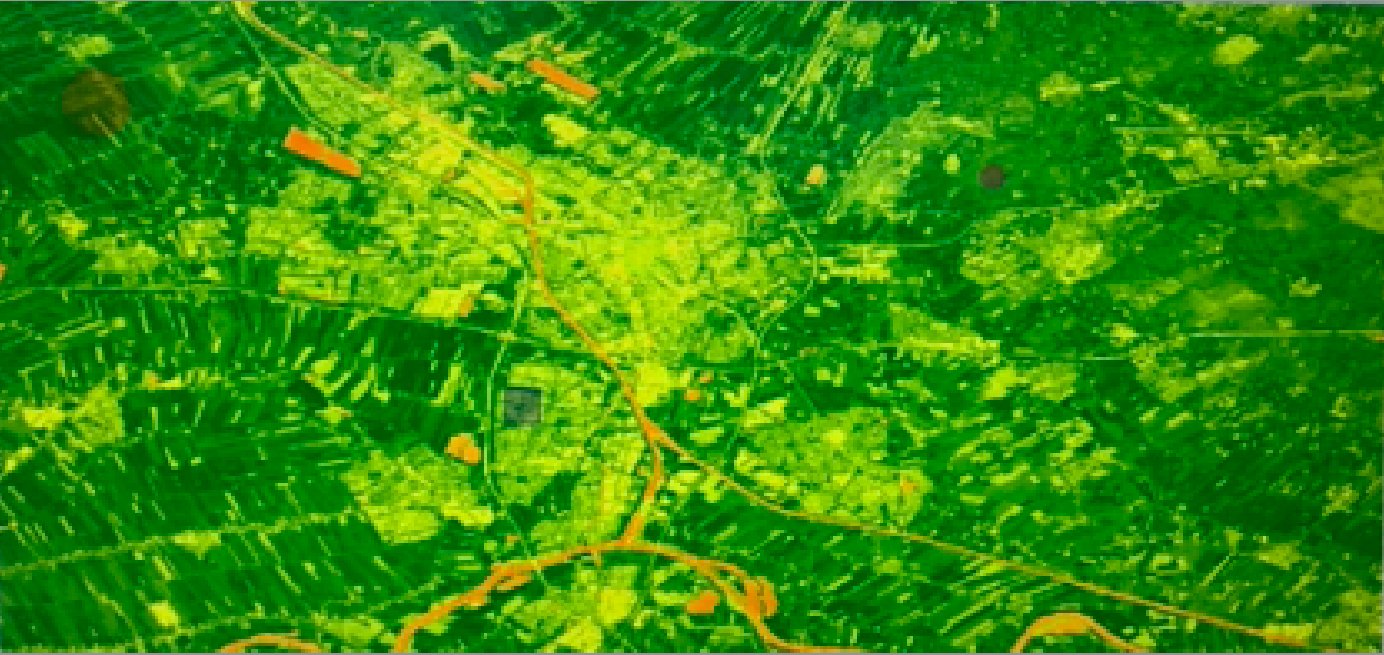
This is a NDVI map showing the vegetation health in that area.